
 Trailrunner.com - Full Article
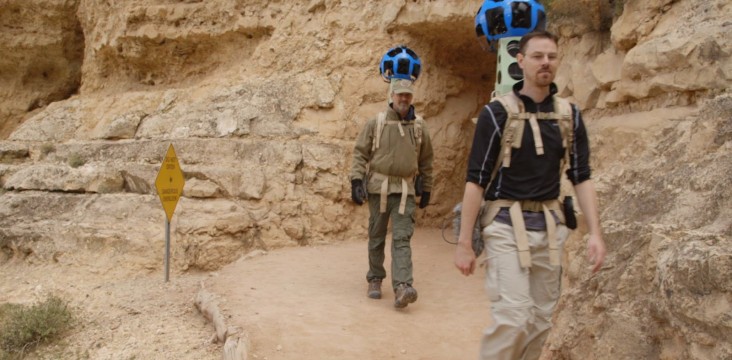
The American Trail Running Association is partnering with the Google Maps team to capture 360 degree panoramic “street-view” imagery of the entire Western States Trail using the Street View Trekker backpack.
Our expedition will take place the week before the 2016 Western States 100 Mile Endurance Run on June 25. Led by our Director of Online Marketing, Richard Bolt, and supported by several prominent ATRA corporate members, the expedition will be documented by iRunFar and experienced trail running race photographer Mike Hermsmeyer. iRunFar will be publishing exclusive stories about the Western States Trail as a companion to the Street View images.
Once the street-view imagery has been processed, it will be embedded into this webpage as well as onto selected sponsor websites. Stay tuned for a Go-LIVE announcement online & from our booth at the Outdoor Retailer Summer Market in Salt Lake City, Utah, August 3-6.
Follow us on social media feeds & subscribe to our Trail News blog to get updates from the team as they traverse 100 miles of rugged Sierra Nevada mountain trails from Squaw Valley to Auburn, California.
See more at:
http://trailrunner.com/western-states-trekker/#.VxZ6im2m0p8.facebook
No comments:
Post a Comment